How much vitality is present?
A combined view of five dimensions.
Biocultural Vitality Index · IVB
The IVB helps us understand how well nature, culture, and community life are sustained in a place, and where attention is needed.
Vitality means the ability to stay alive, thrive, and continue into the next generation.
Why does vitality matter?
Counting forests, languages, or traditions is only a start. We also need to know whether they remain part of everyday life.
A language stays alive when people use it to tell stories, learn, and communicate across generations.
Local seeds have a better future when they are still grown and the skills to care for them are passed on.
Nature and culture are better supported when communities have rights and a say in how they are cared for.
What does the IVB look at?
These five dimensions are read together so that a place is not reduced to a single number.
Are forests, water, and biodiversity in good condition?
Are languages, traditions, and knowledge still used and passed on?
Are community rights recognised, and can people shape how their territory is managed?
Do diverse crops, farming practices, and local food knowledge continue to thrive?
Do community wellbeing and a healthy environment support each other?
Four readings
The IVB separates richness, vulnerability, urgency, and readiness so strength in one area does not hide collapse in another.
A combined view of five dimensions.
Counts dimensions below their thresholds.
Reads pressures that require early response.
Assesses the actor ecosystem and capacity to move.
National findings v0.5
District decisions still require field checks, local context, and community consent.
Ten district signals
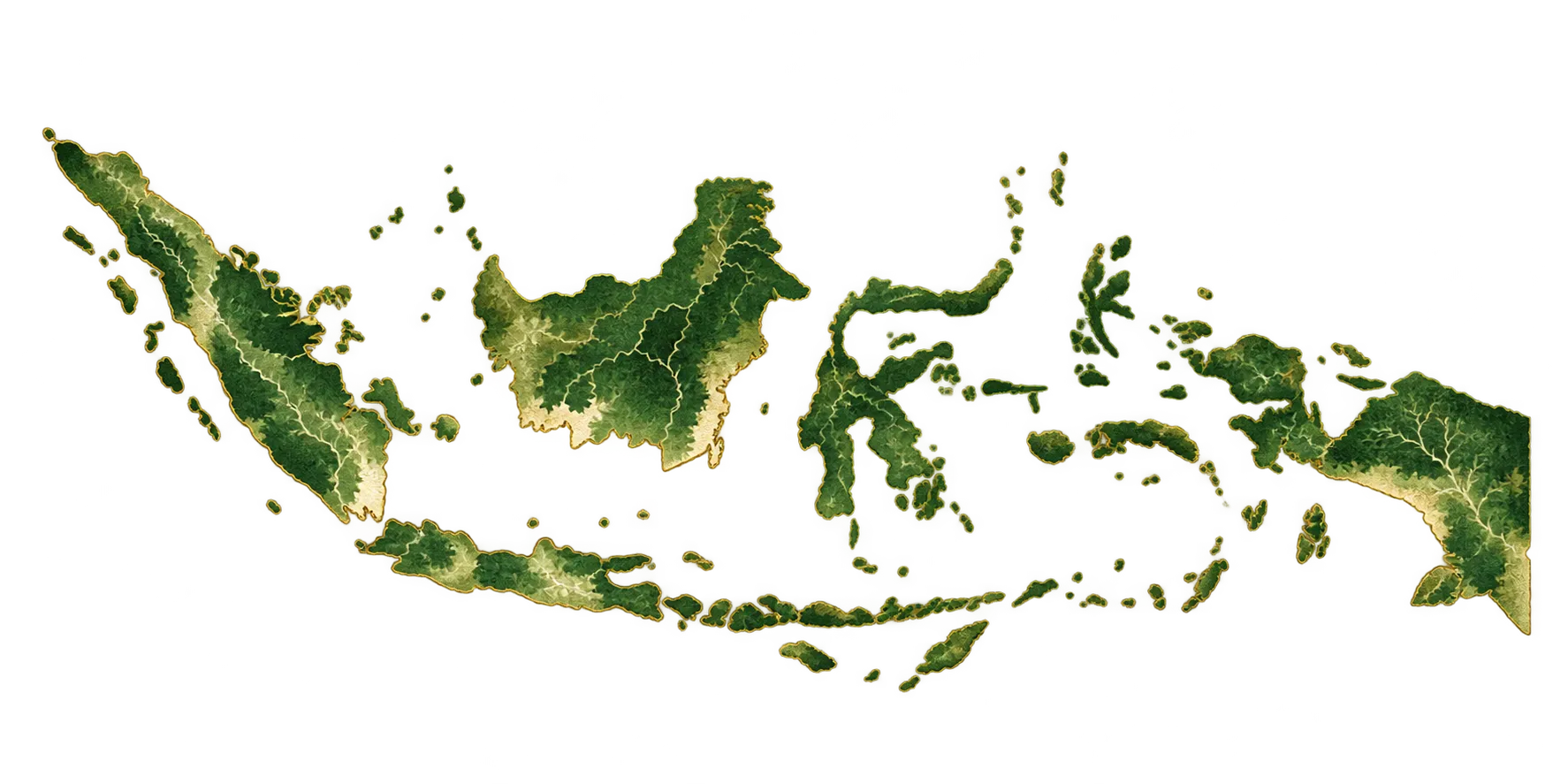 1 Pegunungan Arfak 2 Teluk Bintuni 3 Mesuji 4 Kota Tangerang 5 Pasangkayu 6 Sigi 7 Kota Yogyakarta 8 Kapuas Hulu 9 Tabanan 10 Blora
 Markers use district or city centre coordinates to show the geographic spread. Administrative boundaries are not shown.
Highest urgency; ecological strength may mask decline in other dimensions.
A leading “hidden collapse” case: the combined score looks adequate while dimensions are deeply uneven.
Urgent pressure meets an actor network that is weak or not yet documented.
Low vitality can sit inside a city that appears economically prosperous.
An oil-palm frontier facing emergency pressure and a governance gap.
High vitality and strong community agency; coordination is the challenge.
Highest readiness despite thin ecology and agrobiodiversity; suitable for a policy pilot.
High vitality and low urgency; the best time to protect is before crisis.
Relatively whole conditions and strong civic capacity; formal actor mapping remains incomplete.
Very strong agrobiodiversity, but governance must improve for that richness to endure.
Method and limits
All used cells come from public sources. Eight indicators are shown as context but are not scored because they are not yet sufficiently comparable.
National data quality is Tier C because some indicators still use provincial data. Read patterns and groups; do not treat decimal gaps as certainty.
Initial weights are normative. Equal weighting produced a 0.86 rank correlation; 3,000 simulations show extremes are more stable than the middle. BVS is weight-free.
The dependency layer is built, but the data is still cross-sectional. The IVB does not yet claim validated forecasting or intervention effects.
Of 56 references, 44 were cleared, 7 corrected, and 5 remain flagged as unverified. Corrections and flags were applied to paper v4.0.
The next phase must use FPIC, community data governance, and co-selected indicators.
What comes next
Re-test definitions, indicators, thresholds, and weights through peer review and public deliberation.
Unlock restricted sources and build repeated waves so change can be observed over time.
Include local experience, causal knowledge, and priorities through participatory mapping.
Connect evidence, policy clinics, and Living Labs to learn from real action.
From measurement to action
The IVB helps communities, researchers, and governments recognise local strengths, identify threats, and agree on priorities.
The IVB is being developed to assess conditions across 514 Indonesian districts and cities. Public data provides the foundation, while fieldwork and community knowledge add context. Some components still use province-level data.
Scores need to be read alongside their breakdowns and data limitations. The index informs discussion; decisions still require local knowledge and community participation.
Want to contribute to the knowledge behind the IVB?
Explore the research fields